
Volcano Eruption Picture
One of the most active volcanic eruption areas is in fact under the great ice-cap Vatnajokull. Volcano eruption is quite common in the Grimsvotn area. Grimsvotn is an unusual lake in the center of the ice-cap and is kept unfrozen underneath thick ice, because of geothermal activity. Every few years the water lifts the ice dam flooding the river Skeidara.

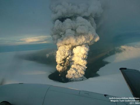
Volcanic eruption started late Monday November 1. 2004. This is believed to be caused in part by the release of pressure since the river flooded.
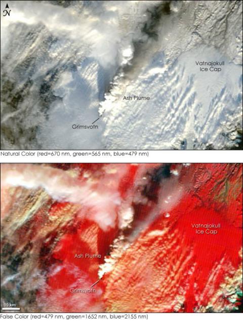
The NASA’s Terra satellite captured this view of the erupting volcano.
Most power in the eruption is in the first days and ash is forcing international air traffic to change their normal routes east of Iceland and all the way to Norway.
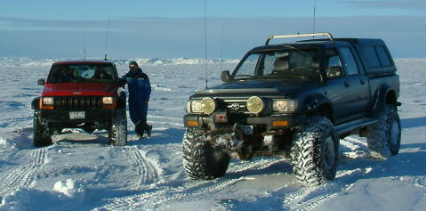
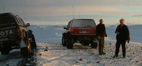
Getting a better look at such an eruption is possible by air and of course by a 4×4! Einar, Dagur and Gudmundur along with their co-drivers took the 4×4 route.
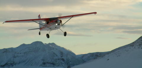
Sigurjon, Grettir Sig and Eva also from the Gutti travel club took the easy way!
On their way they “meet” the other members cruising along…
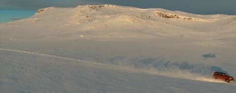
…Gudmundur on his Toyota Land Cruiser and …
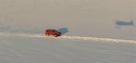
… Einar on his Cherokee. You can see the shadow of the airplane.
Dagur on his Toyota Hi-Lux wasn’t caught on picture from the air.
The 4×4 group started at 7am from Reykjavik. The morning was bright with good view to the ash plume. Around noon fog gathered around blocking view to the crater. Some got there a little earlier and got a good look at the eruption.
Our group got at the volcano eruption area just after 1pm.
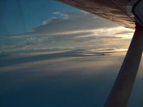
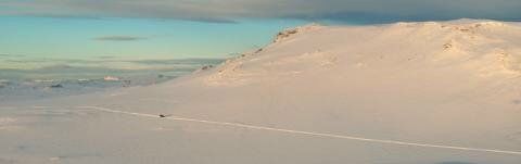
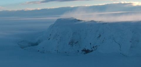
The air group got a better view! Here is the great ice-cap in the morning sun.
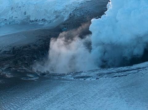
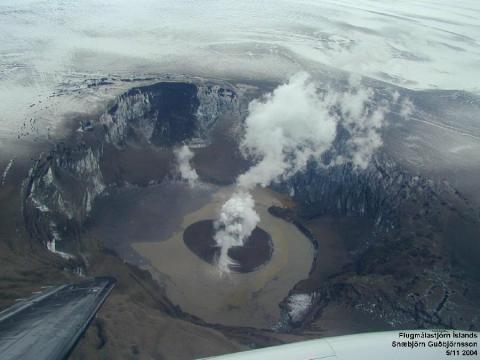
The crater in ash-covered ice…
… and a view from another angle where the ash is thicker.
Thickness of the ice-cap is around 200 meters at the area.
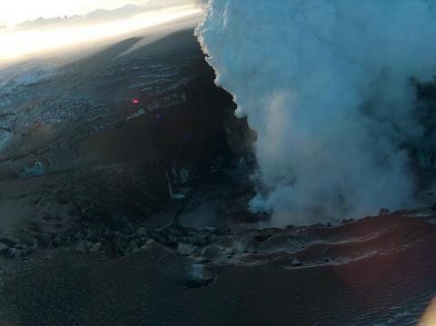
The crater with the mountain Sviahnjukur (1700m) in the back.
At the east side of Sviahnjukur is where the river runs under the ice-cap. During such great floods it sometimes melts holes in the ice. Notice on the picture such a hole on the left.
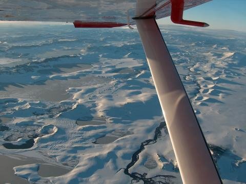
View from the air is amazing!
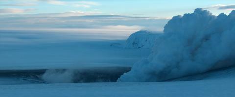
You can see rows of older craters that erupted a few hundreds or thousands years ago.
During a later flight by the Icelandic aviation control the eruption has almost stopped. A small island has formed with a lake around it.
After a few years this will probably be filled completely by ice!
Further information:
Iceland’s Grimsvotn Volcano Erupts – Article at Earth Observatory
Grimsvotn eruption 2004 – update from Nordvulk
Sigurjon Sindrason and Dagur Bragason – pictures from Gutti members
Pictures on this page are by:
Magnus Tumi Gudmundsson
Sigurjon Sindrason
Dagur Bragason
Snaebjorn Gudbjornsson
Thrandur
4x4OffRoads.com